The Blue Belt Programme
The Blue Belt Programme is a four year programme (2016 to 2020), delivered by the Centre for Environment, Fisheries and Aquaculture Science (Cefas) and the Marine Management Organisation (MMO) with the UK Overseas Territories (UKOTs) on behalf of the Foreign and Commonwealth Office (FCO) and the Department for Environment, Food and Rural Affairs (Defra).
This programme will help to provide long term protection of over four million square kilometres of marine environment across the UK Overseas Territories, helping to protect our rich and unique biodiversity and sustainable fisheries.
Funded through the Conflict, Stability and Security Fund (CSSF) the programme will support the UKOTs develop, implement and enforce marine protection strategies.
Delivering the Blue Belt Programme on SGSSI
My name is Rui Pedro Vieira, a Fisheries Scientist based at Cefas. As part of the Blue Belt Programme, I was on board the MV Pharos SG participating in a research survey in South Georgia Maritime Zone during April 2018.
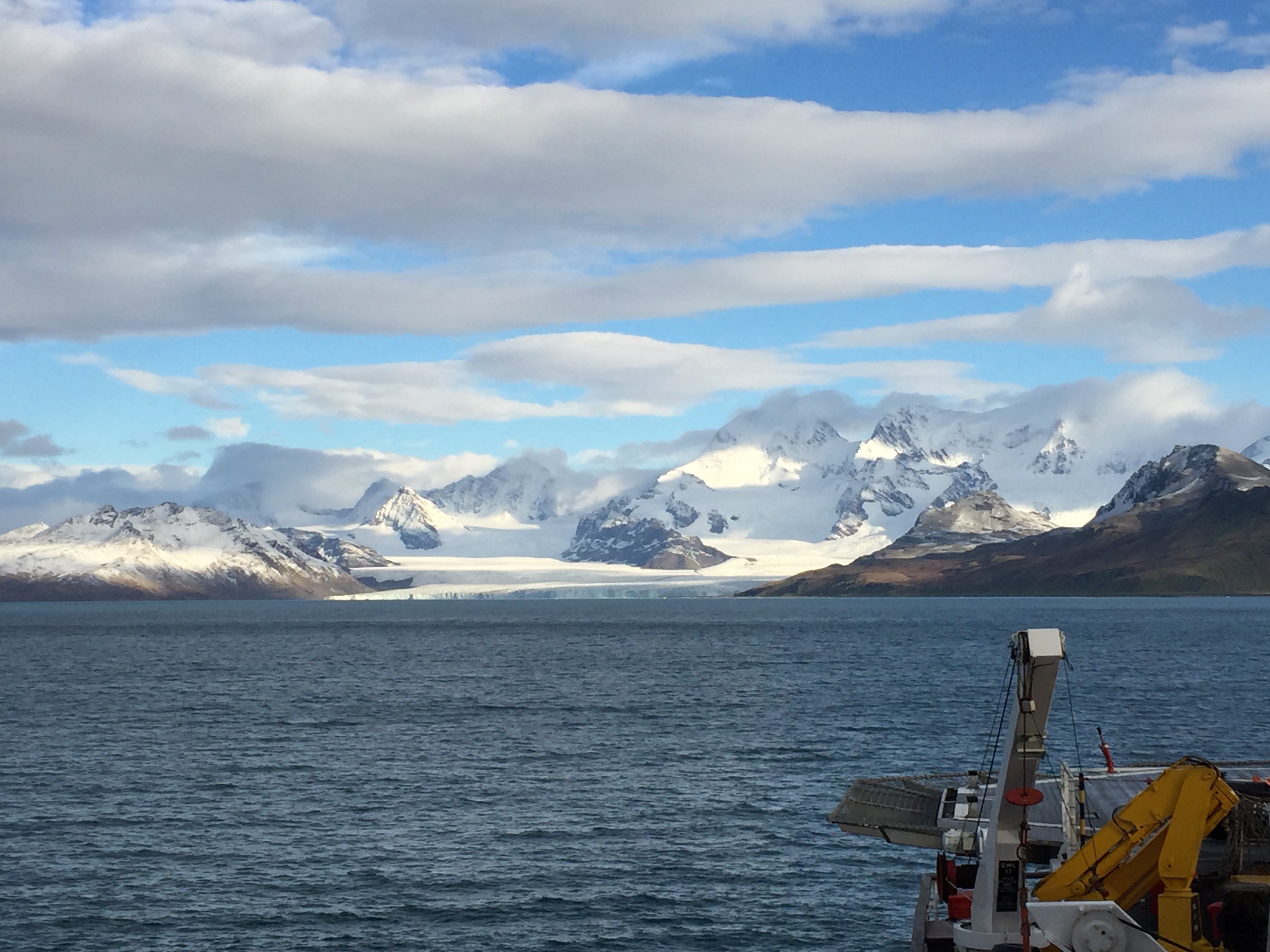
South Georgia & the South Sandwich Islands (SGSSI) is a sub-Antarctic archipelago hosting numerous species of marine mammals and seabirds. The SGSSI Maritime Zone was designated as a Sustainable Use Marine Protected Area (MPA) in 2012, with additional measures added in 2013. The MPA includes a prohibition on bottom trawling, and a range of spatial and temporal closures. Sustainably managed fisheries for toothfish, icefish, and krill operate in the MPA.
Our survey began in the Falkland Islands and we spent 18 days at sea, including 9 days collecting baseline data on the benthic ecosystems of the SGSSI waters. Before departure from the Falklands, Cefas scientists worked with the Government of South Georgia fisheries and environment managers to further develop plans to progress the Blue Belt Programme in SGSSI.
Working with our partners to deliver the Blue Belt
The South Georgia survey was carried out in a collaboration between Cefas and British Antarctic Survey (BAS) scientists on board the MV Pharos SG.
Together with our partners we aim to improve our ability to understand the biodiversity of the SGSSI marine environment and to conduct a comprehensive investigation into the potential impact of longline fishing gears on marine habitats and fauna. These aims are important for improving and developing effective management decisions, monitoring, and enforcement strategies that are adequate to face the threats to marine ecosystems around SGSSI.
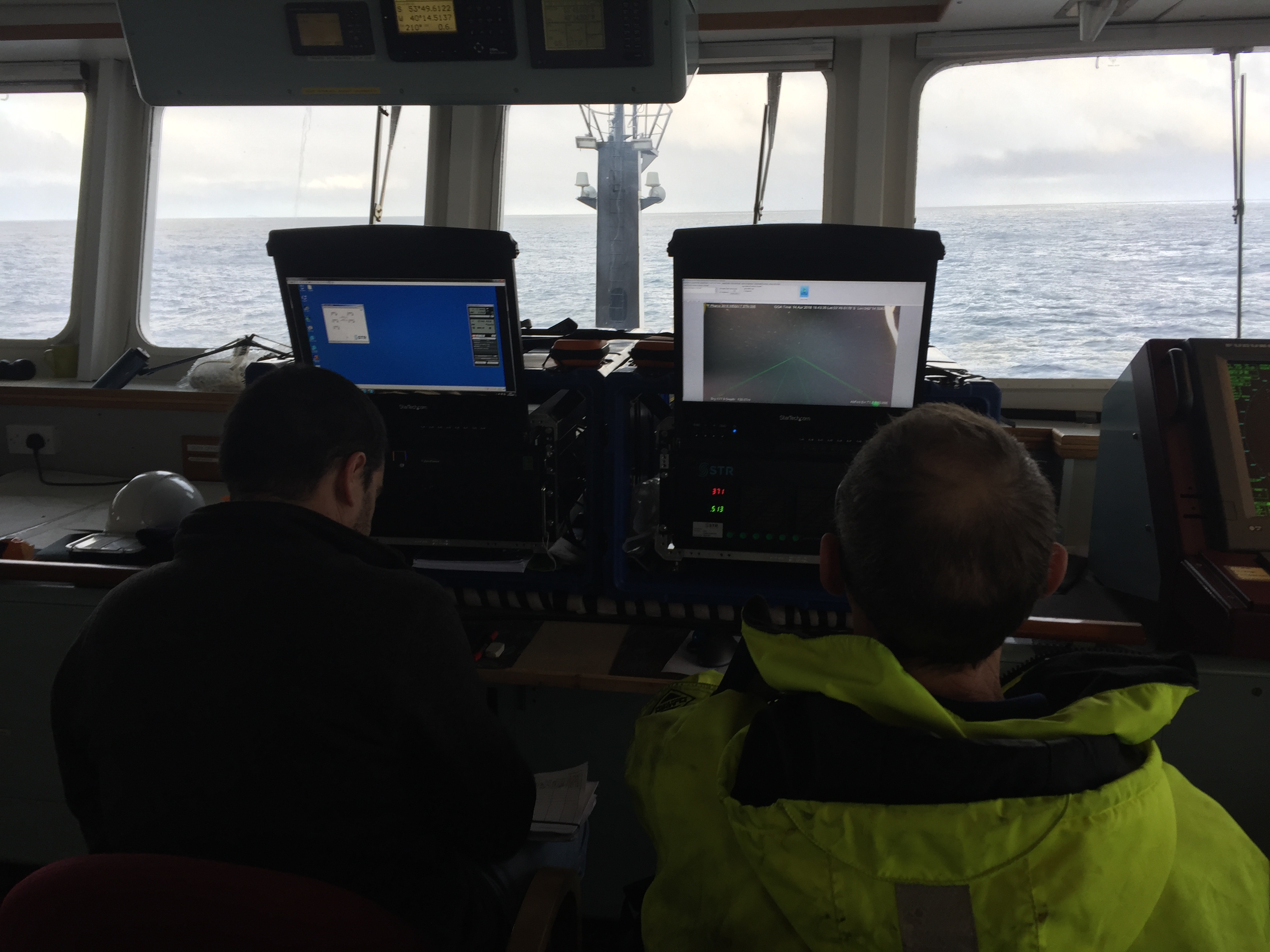
Deep-water camera work
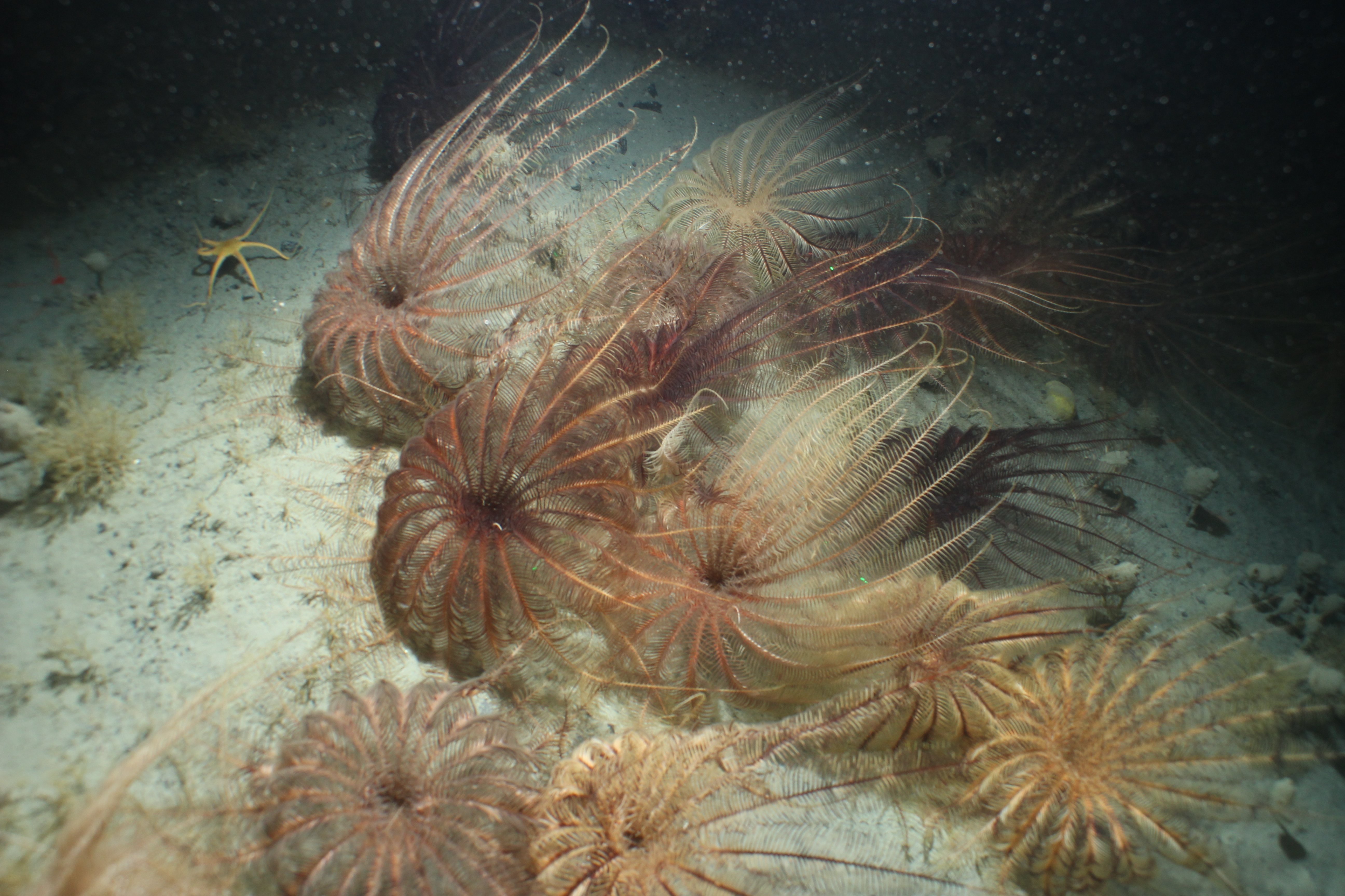
The deep-sea is the largest biome on the planet and it covers most of the seafloor. The vast majority of the deep ocean floor of SGSSI is poorly mapped and there is a lack of information on benthic diversity.
Collecting data on the biodiversity and ecosystem functioning is important to increase our knowledge of the functioning of deep-sea ecosystems, and to provide scientific-based information towards conservation and sustainable exploitation of marine resources.
The main purpose of this research was to obtain high-resolution imagery of the benthos around South Georgia, particularly within the South Georgia Benthic Closed Areas (BCA).
A trial in the sheltered Cumberland Bay was conducted as a test deployment to familiarise the crew and scientific team with working together and using the camera system to achieve the optimum picture and video quality. The vessel then sailed to commence the deep-water camera operations survey at 15 sites within two of the Benthic Closed Areas (BCAs), at depths ranging from 400m to 1270m. The BCAs are areas that are closed to commercial fishing to protect benthic species.
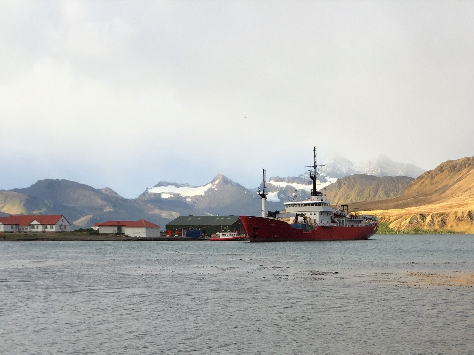
After collecting passengers from KEP on the morning of the 21/4, MV Pharos SG sailed to Stromness Bay where two survey stations were deployed, one in the bay and one on a moraine ridge at the entrance to the bay. We then left South Georgia for the return transit to Stanley, Falkland Islands.
Future Blue Belt work in SGSSI
The Cefas and BAS team were very grateful for the support from the MV Pharos SG crew, without whom the survey would not have been as successful. All staff enjoyed the atmosphere and welcome on board the ship.
We are looking forward to continuing work with the Government of SGSSI. We will be analysing the images we obtained, which will be used to support the next research survey, give insights on the biodiversity in deep benthic regions, and to assess any impacts of fishing around SGSSI. These findings will help inform decisions which will protect biodiversity and sustainable fishing practices.